

비밀번호 변경 안내
비밀번호를 변경하신 지 90일 이상 지났습니다.
개인정보 보호를 위해 비밀번호를 변경해 주세요.
도서관을 통해 DBpia에 방문하면
SNS 로그인이 제한됩니다.
비밀번호 변경 안내
비밀번호를 변경하신 지 90일 이상 지났습니다.
개인정보 보호를 위해 비밀번호를 변경해 주세요.
비밀번호 변경 안내
비밀번호를 변경하신 지 90일 이상 지났습니다.
개인정보 보호를 위해 비밀번호를 변경해 주세요.
간편 교외 인증 이벤트 응모
이름
전화번호
개인정보 활용 동의
비밀번호 변경 안내
비밀번호를 변경하신 지 90일 이상 지났습니다.
개인정보 보호를 위해 비밀번호를 변경해 주세요.
아직 발송된 알림이 없어요.
이용하기 좋은 알림들을 추천할게요!
 알림 추천 보러가기
공저자
권기욱 (세명대학교)
공동저술논문수 : 11
신현선 (경북대학교)
공동저술논문수 : 6
김석종 (대구과학대학)
공동저술논문수 : 3
김재형 (대구과학대학)
공동저술논문수 : 3
신현선 (경북대학교)
공동저술논문수 : 3
최진호 (Korea Appraisal Board)
공동저술논문수 : 3
백승렬 (경북대학교)
공동저술논문수 : 2
엄정섭 (경북대학교)
공동저술논문수 : 2
전우진 (경북대학교)
공동저술논문수 : 2
정지훈 (경북대학교)
공동저술논문수 : 2
최세휴 (경북대학교)
공동저술논문수 : 2
권영웅 (대구과학대학)
공동저술논문수 : 1
공동저술논문수 : 1
권종열 (대한지적공사)
공동저술논문수 : 1
권진영 (현대엠엔소프트)
공동저술논문수 : 1
김도균 (영남대학교 건설시스템공학과)
공동저술논문수 : 1
김성훈 (스마트지오)
공동저술논문수 : 1
김성훈 (강원대학교)
공동저술논문수 : 1
김정훈 (Korea Land and Geospatial Informatix Corporation)
공동저술논문수 : 1
박정호 (LX한국국토정보공사)
공동저술논문수 : 1
배세연 (대구광역시 동구청)
공동저술논문수 : 1
서혁준 (경북대학교)
공동저술논문수 : 1
이상찬 (Korea Land and Geospatial InformatiX Corporation)
공동저술논문수 : 1
이중직 (경북대학교)
공동저술논문수 : 1
저자의 투고 저널
투고논문수 : 14
투고논문수 : 13
투고논문수 : 12
투고논문수 : 2
투고논문수 : 1
제휴문의
DBpia와 구독·저작권 계약, 기타 제휴를 원하시면 해당 부서로 연락 바랍니다.
담당부서 : 영업기획팀 (4년제 대학교, 해외 도서관, 공공기관, 국책연구원, 기업, 전문대학 등) trial@nurimedia.co.kr
담당부서 : 콘텐츠 영업팀 copyright@nurimedia.co.kr
담당부서 : 서비스 기획팀 dbpia@nurimedia.co.kr
관심저자 알림
알림 유형
김준현 저자의 동일저자 병합요청
저자명
김준현 저자의 동일저자 병합요청
저자 정보 수정 요청
신고항목
김준현 저자님의 논문 목록
논문 제외 요청
논문 오류신고
신고항목
수정 전
수정 후
수정 전
수정 후
수정 전
수정 후
수정 전
수정 후
수정 전
수정 후
리뷰 신고하기
이 논문의 참고문헌을 찾아주세요.
이 논문의 참고문헌을 찾아주세요.
구매하기
잠깐! 구매하시기 전에 소속기관의 DBpia 구독 여부를 확인하세요.
구독기관 소속이시면 소속기관의 구독 논문을 이용하실 수 있습니다.
구독기관 조회하기
구독하기
논문보기
무료
구매하기
논문보기+다운받기
장바구니
인용 _
인용양식 _ 인용양식 변경
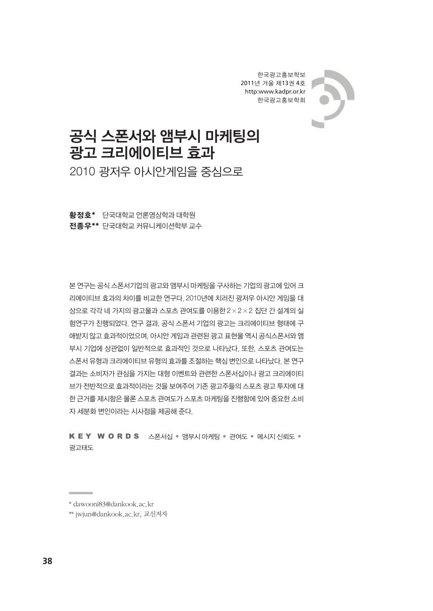
공식 스폰서와 앰부시 마케팅의 광고 크리에이티브 효과 : 2009 광저우 아시안게임을 중심으로
